
Looking Up Your Bountiful Neighbors
A block lookup works from the outside in. First identify the parcel at the known address. Then inspect the parcels that touch it, record each parcel ID and legal description, and use the Recorder or Assessor for the land question. A neighbor's name should be tested independently through a voter, deed, license, business, directory, or civic record. Ownership is not the same as occupancy.
The research found no unrestricted current Bountiful neighbor roll and no public HOA roster. The public sources below offer different kinds of block information. Use the narrowest source that answers the question, and preserve the date of every result.
| Source | What it shows about a block | Access |
|---|---|---|
| Davis Property Search GIS | Parcel boundary, adjacent parcel, ownership context and tax-information link | Public map; zoom and click |
| Davis Recorder | Deed parties, legal description, entry number and book/page | REDI-Web, terminal or copy request |
| Utah Voter Search | Registered voter match using name, street, city, ZIP and other fields | Individual form; protected rules apply |
| Community Service Council | Represented civic groups and meeting context | Public civic page; not a member roll |
| Cemetery Names in Stone | Burial name and location around a local history question | Online search and office follow-up |
| Historical sources | Older building, household, cemetery, and street clues | Library, Archives, UHS and FamilySearch |
Map a Bountiful Block From One Parcel
Open Davis County Property Search GIS. Zoom until parcel lines appear. Search by Address or Parcel ID, choose the dropdown match, click the target, and read Parcel Details. Pan to the parcels that touch the target and click each one. Follow Tax Information when parcel ID or legal description is needed.
The county says the map is informational, may be about 24 hours old, and is not legal evidence. It does not document a street-export or buffer button, so a block lookup is a set of parcel clicks. Keep a small record with the target address, adjacent parcel IDs, source date, and questions sent to the Recorder or Assessor.
- Set the target situs address and confirm the city label.
- Save the target parcel ID and legal description.
- Click each touching parcel and save its visible parcel fields.
- Use Recorder searches for ownership or deed links, and label mailing addresses separately.
- Use a dated person source when a known name needs confirmation.
The flow is: target address to parcel, parcel to touching parcels, parcels to owner records, owner name to dated independent source. It does not produce a list of every person in nearby homes.
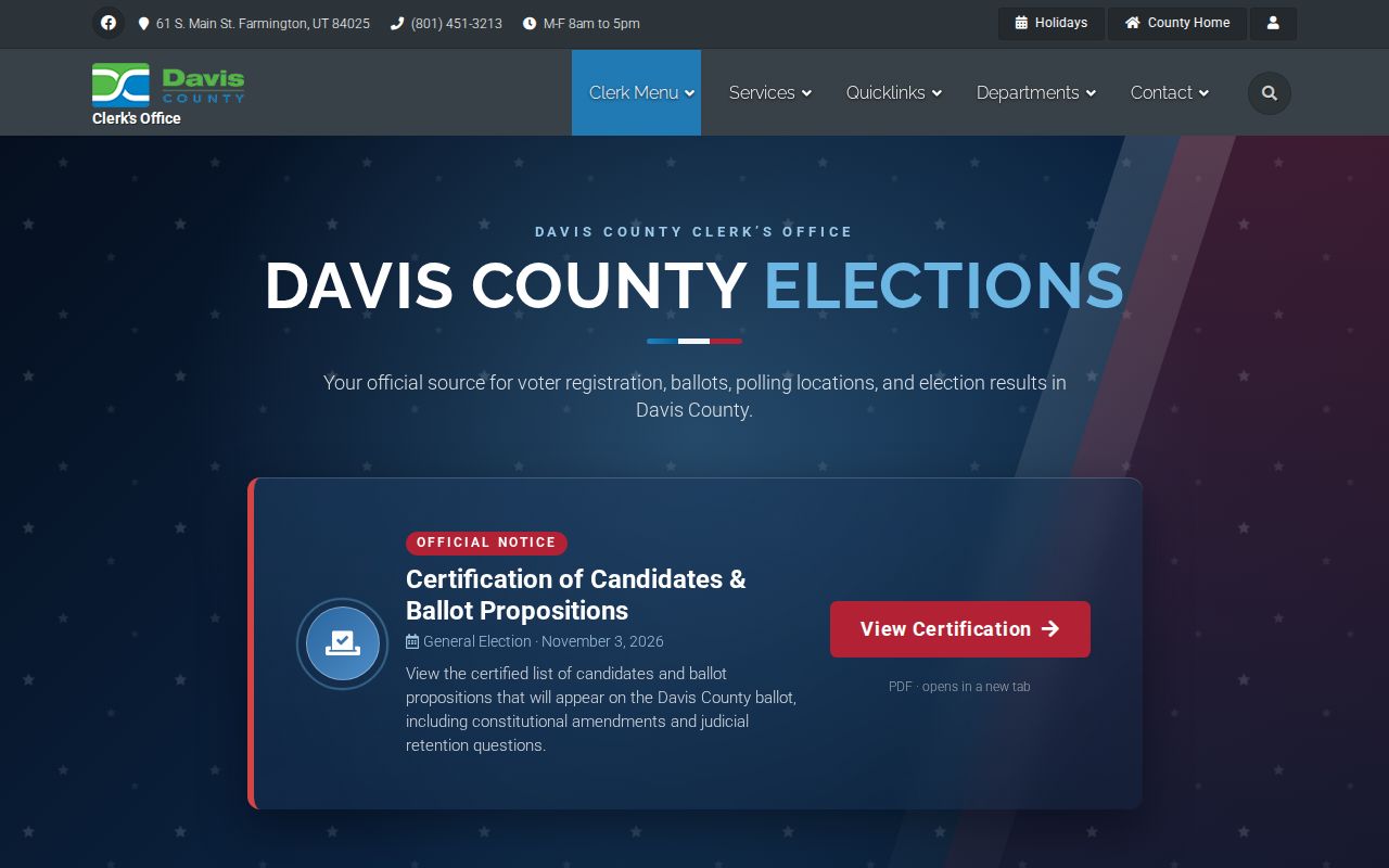
The assigned county capture supports the public-record side of block research. Use the county application for live parcel details.
Click Parcels That Touch Bountiful
Adjacent parcels can have different owners, mailing addresses, legal descriptions, and land uses. The map's parcel click is the starting point, not a claim about a neighbor's daily presence. The Assessor handles value and assessment questions. The Recorder handles ownership, address, tax-unit, and legal-description questions. The Treasurer handles tax questions.
When a result is needed for a block history, save the lot, unit, subdivision, block, or boundary language. A legal description can remain useful when a street number changes. Use the Recorder's parcel tools, plats, surveys, and tie sheets where available. The county's online field list is partly hidden by JavaScript, so do not claim a layer or export control that was not visible.
| Parcel clue | Why it matters |
|---|---|
| Parcel ID | Stable county key for moving from map to record search. |
| Situs address | Physical place used for the block walk. |
| Mailing address | Tax or owner correspondence location; may be off-site. |
| Legal description | Lot, unit, subdivision, block, or boundary link across address changes. |
| Plat | Recorded geometry for lots, roads, blocks, and units. |
Repeat Owner and Description Checks
The Davis Recorder's Property Search has owner-name, property-address, parcel or serial number, and document-entry number routes. REDI-Web help adds Party Name, Entry Number, Book/Page, Development, and Location. Use the parcel from the map before a name alone. The index can show deeds, mortgages, liens, plats, and legal descriptions tied to a parcel.
REDI-Web help places common tools around 1983. County real-property holdings are stated to reach 1850, with historical land records to 1870 and computerization or microfilm around 1981. A missing web result is therefore a reason to try the Farmington counter, older books, Archives, or FamilySearch. The Recorder counter is at 61 S Main, Suite 106, with 801-451-3225 and weekday 8 to 5 hours.
Separate Situs From Mailing Address
Situs means the physical parcel. Mailing address means where tax notices or owner mail is sent. For Bountiful neighbors, those values can differ. An owner can have correspondence sent elsewhere, and a mailing label can carry a postal city that does not match the municipal boundary. Do not convert a mailing address into a claim about where a person lives.
- Situs
- The mapped physical location of the parcel.
- Mailing address
- The delivery location used for tax or owner correspondence.
- Legal description
- The recorded land description used to identify a lot, unit, subdivision, block, or boundary.
- Adjacent parcel
- A parcel that touches or borders the target on the county map.
Write the label beside every address. This is a small step, but it prevents a map result from becoming an unsupported neighbor profile.
What Block-Level Voter Data Can Show
Utah Voter Search uses First Name, Last Name, Date of Birth, Street Address, City, and Zip. Public fields can include name, physical or mailing address, year of birth, party affiliation, and vote history. Full date of birth, Social Security number, ID number, email, and phone are withheld. Protected voters can be omitted.
Use the voter form to check a known person and address, not to build a block list. The May 25, 2026 Utah privacy transition means current public-field treatment should be rechecked at the live privacy and data-request pages. A result shows registration, not every adult, child, guest, or occupant near the parcel.
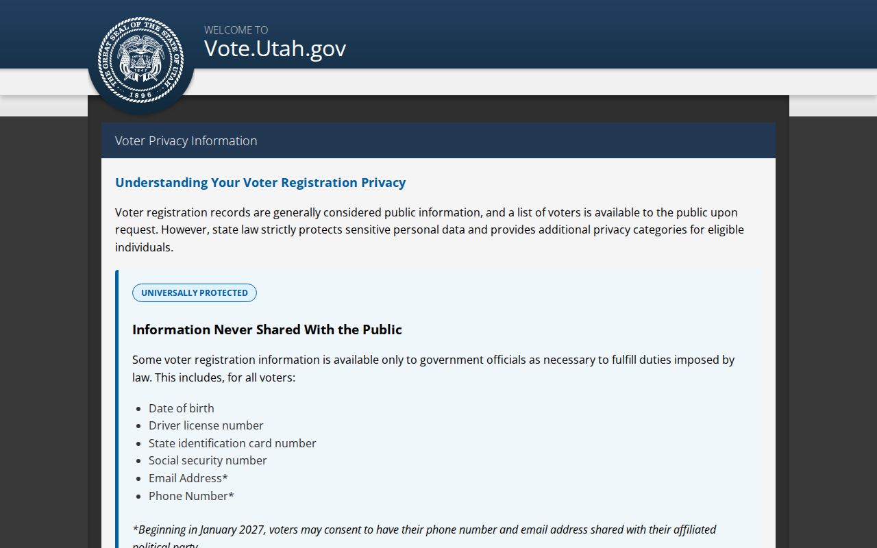
The privacy capture explains why a careful block lookup may return less than expected.
The Community Service Council Around Bountiful
Bountiful's Community Service Council is a civic map of organizations, not a private neighborhood roster. Its public page lists represented groups including Concerts in the Park, Veterans Park, Davis County Amateur Radio Club, Elks Lodge, Emergency Management Council, Food Pantry, Freedom's Light Festival, Interfaith Council, Lions, Rotary, and South Davis Communities that Care. The council meets at 8 a.m. on the second Saturday each month at City Hall.
This is useful when neighbors are being studied as civic connections rather than as names at doors. It can point a family-history or community-history question toward a group, meeting, or public event. It cannot show membership of a block or provide a current list of households.
The council capture shows the civic-organization layer. It should not be read as a neighbor directory.
Neighborhood Watch Is Historical Context
An official Bountiful city safety PDF records cooperation between Bountiful Police and the Community Council and says most neighborhoods had organized historically. It names a civic-safety context, not a current membership list. A block lookup should not use historical organization language to infer who belongs to a neighborhood today.
For current public contacts, use the city, county, police, or council page. If a safety matter involves a threat, preserve messages and use official emergency or non-emergency channels. Do not approach a person because a public record appears to connect them to a parcel.
Cemetery and Sanborn Clues Near a Block
Bountiful City Cemetery supplies a local historical layer. The Names in Stone guide uses first name, last name, burial location, and optional birth or death years. The present site was selected in 1854, before street or house numbers. Lots and roadways and formal records began around 1880, and the LDS Church deeded the cemetery to Bountiful City in 1938. The city warns online records are incomplete.
The cemetery-office capture identifies a local follow-up route when a burial search needs a second check.
The cemetery-history capture adds the early geography that predates ordinary house numbers.
The cemetery search-guide capture shows the name and location fields before an office follow-up.
The Library of Congress holds a four-sheet February 1917 Sanborn map of Bountiful. A Sanborn sheet can show building footprint and use around a block, but not the name of an occupant. Pair it with a dated directory, deed, census, obituary, or cemetery entry.
HOA and Private-Roster Limits
The research did not locate a public Bountiful HOA directory, current private neighborhood roster, or searchable association membership list. Private groups may keep contact lists, but a public map or civic page cannot be used to infer them. For a public city record, use the Bountiful GRAMA form with an address, parcel, department, record type, and date range. Restricted material stays closed.
Commercial neighbor tools may assemble names and old addresses, but their source dates and scope can be unclear. Official parcel, voter, Recorder, civic, and historical sources are narrower and give a better path to verify a fact. Use the source category that fits the question.
| Route | Useful quality | Limit |
|---|---|---|
| Official parcel and deed | Named custodian, land key, recorded fields | Shows land or recorded parties, not every occupant |
| Official voter source | Defined registration fields and privacy rules | Not a block roster; protected records may be absent |
| Private or commercial assembly | May offer a starting lead | Unclear source date, scope, and accuracy |
What Remains Private on a Bountiful Block
Renters, household members, guests, utility customers, delivery recipients, and many permit or complaint details are not a public neighbor directory. DMV information is limited by the federal DPPA. Safe at Home can shield an actual address. Courts exclude sealed, juvenile, expunged, and private family matters. Public information can still create a safety risk when several small facts are combined.
Use the block record for a narrow purpose: parcel orientation, ownership history, a known voter match, a civic organization, or a dated historical clue. Verify errors with the Assessor, Recorder, Elections, Courts, cemetery, library, or other custodian. Store only the detail needed for the research question.