
Sources for Previous Residents of Bountiful
Different eras require different keepers. The modern parcel and deed trail sits with Davis County. Older household clues sit with directories, census releases, newspapers, cemetery records, marriage books, probate, and historical collections. The table sets the expected reach without inventing a continuous local directory run.
| Source | Years or scope | Where held | What it shows |
|---|---|---|---|
| Property and Recorder | Real-property records reach to 1850; historical land to 1870; web tools around 1983 | Davis County offices and REDI-Web | Parcel, legal description, deeds, parties and ownership trail |
| FamilySearch Davis records | 1869 to 1953 | FamilySearch and catalog images | Land, birth, death, naturalization, cemetery and related county books |
| Davis marriage Series 6040 | 1887 forward; early reels include applications and licenses | Utah Archives, microfilm and genealogy access | Names, residences, ages, dates, officiator and witness details |
| Directories | Item years vary; exact Bountiful run needs scan or shelf confirmation | Marriott, UHS and Davis County Library | Dated occupants, streets, occupations and household marks |
| Sanborn map | February 1917, four Bountiful sheets | Library of Congress | Building footprint and use, not proof of a resident |
| Centennial collection | 1991 to 1992 history; 1993 early-homes guide; 1882 to 1992 material | Utah Historical Society | House-history leads and local context |
Fix the Modern Bountiful Parcel First
Open Davis County Property Search GIS. Zoom until parcel lines appear. Choose Address or Parcel ID, enter the value, select the dropdown result, click the parcel, and read Parcel Details. The Tax Information link exposes parcel ID and legal description. Keep the situs address and mailing address separate because the mailing address can be away from the Bountiful parcel.
The county says the application is informational, may be about 24 hours old, and is not legal evidence. Route ownership and legal-description questions to the Recorder, valuation questions to the Assessor, and taxes to the Treasurer. A parcel map is the start of a previous-resident search, not the proof of residence.
The parcel ID and legal description are the stable land keys needed before an older address trail can be traced.
Find the Purchase Deed in Davis County
The Recorder's Property Search documents owner name, property address, parcel or serial number, and document entry number. REDI-Web adds Party Name, Entry Number, Book/Page, Development, and Location searches. Start with the current parcel or legal description, then inspect the most recent deed and retain its entry number, recorded date, book, page, document type, grantor, grantee, and image path.
The Recorder says land records reach back to 1850, historical land records to 1870, and computerization or microfilm is marked at 1981. REDI-Web help places indexed document tools around 1983. Use the counter terminal at 61 S Main, Suite 106, Farmington, Monday through Friday, 8 to 5, when the web index does not reach the needed era. Office copies, Archives, and FamilySearch are separate channels.
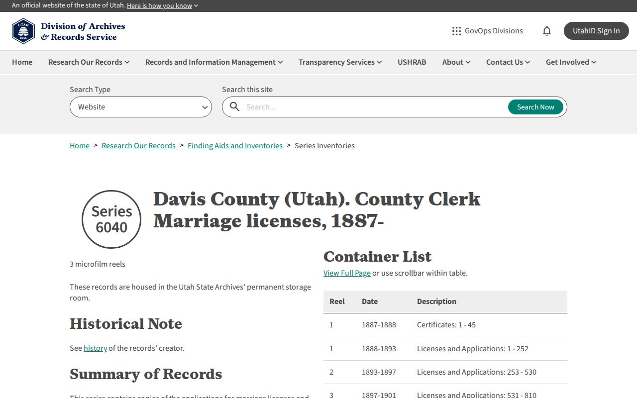
The assigned archival capture is a marriage-series source, but it illustrates the need to preserve a collection citation beside a property citation.
Search the Seller as the Next Link
Grantor is the party transferring an interest. Grantee is the party receiving it. Once the purchase deed is found, search the earlier grantor as the next link, using the parcel, legal description, book and page, or dated address to prevent a same-name mistake. A deed party may be an owner, trust, developer, lender, or other recorded participant. It is not automatically a household member.
- Record the current parcel ID, legal description, and situs address.
- Find the latest deed and copy its entry number, dates, book/page, grantor, grantee, document type, and subdivision or lot.
- Use the prior grantor and the same legal description to find an earlier deed.
- Repeat backward, marking gaps, changes in lot or unit language, and any subdivision event.
- Pair each dated owner clue with a directory, census, obituary, cemetery, probate, or marriage source before calling it a past resident.
The chain of title is the sequence of recorded interests in land. It shows ownership history, while a directory or census supplies the household layer. Keep those claims apart.
Carry Legal Descriptions Across Address Changes
A street number can shift, a spelling can vary, and a postal label can differ from a city label. Lot, unit, subdivision, block, or metes-and-bounds language is often the better bridge. The Recorder sample demonstrates the density of a single entry: entry number, recorded and execution dates, book/page, deed type, consideration, recording party, fee, return-to party, grantor, grantee, land serial number, vesting, and location.
- Grantor
- The party named as transferring an interest.
- Grantee
- The party named as receiving an interest.
- Chain of title
- The dated sequence of recorded interests used to trace a parcel backward.
- Legal description
- Lot, unit, subdivision, block, or boundary language that identifies the land more steadily than street text.
Do not publish a private identifier from a recorded image. Keep only the fields needed to reproduce the search and verify the historical link.
Know the About-1983 Online Boundary
REDI-Web's help material places its indexed document tools around 1983, while the Recorder describes much older county holdings. This is the key “online versus shelf” comparison for previous residents. A missing web result may be an access gap, not a missing deed. Ask the Recorder about public terminals, office copies, older books, microfilm, and the right index key.
| Route | Use and limit |
|---|---|
| REDI-Web | Subscription name, address, parcel, entry, book/page, development and location search; images and abstracts may add charges. |
| Recorder counter | Public terminals and copy questions; office hours are Monday through Friday, 8 to 5. |
| FamilySearch | Davis County images from 1869 to 1953, with land and related books. |
| Utah Archives | Series and index guides for older land, marriage, court and county records. |
Keep the route that produced each fact. A FamilySearch image and a current REDI entry should not be cited as if they were one index.
Pair Deeds With Bountiful Directories
The Marriott Digital Library's Utah City Directories collection includes Bountiful and Davis County scans, but the landing page does not enumerate an exact local year run. Read each title page for city, publisher, and edition year. Davis County Library can help with paper, microfilm, reverse directories, newspapers, and yearbooks, though its public page does not verify exact Bountiful shelf years.
A city directory can show a dated name, occupation, spouse notation, address, business location, and owner or occupancy mark. Preserve the volume's abbreviation key. Search a name alphabetically, then try the street or reverse section when available. The collections themselves are covered in the Bountiful city directory guide, while the present parcel chain belongs to the street records.
The assigned Archives capture points to the guide layer. Use a finding aid to locate the right series before asking for a copy.
Use Census Years Under the 72-Year Rule
Pair each available directory edition with the closest federal census year. A directory usually gives a nearer-term address clue. The census supplies household composition at its enumeration date and becomes public under the National Archives 72-year rule. Neither source is a current-residency record. A gap can mean a move, a skipped directory, a spelling change, or a missing scan.
For a Bountiful address, retain the street text from each year and compare it with the legal description and deed chain. Search old place labels such as Sessions Settlement or North Canyon Ward when an early record predates the modern city name. Davis County and Farmington-area references may be more useful than a Bountiful-only filter.
Date a House With Local History
The Bountiful Centennial finding aid includes “Dwellings: A Guide to Early Bountiful Homes Built Before 1900,” the 1991 to 1992 centennial history, a souvenir magazine spanning 1882 to 1992, and quarterly material. Use it as a house-history lead, then verify the address through deeds, plats, directories, maps, newspapers, and census records.
The Library of Congress holds a four-sheet February 1917 Sanborn map for Bountiful. It can show a block footprint or building use at an address-era moment. It is not proof of the person who lived there. Bountiful's 1892 incorporation and later utility, streetcar, telephone, streetlight, and paving dates help explain when a built address might begin appearing in a source.
Close the Trail With Family Records
Obituaries, probate, cemetery entries, and marriage records can close a previous-resident trail when the parcel and household clues already agree. Davis County marriage Series 6040 begins in 1887. Early applications can include residences, ages, dates, and parental consent; licenses can include names, issue or marriage dates, officiator, and witnesses. The Archives Davis divorce index adds 1877 and 1880 register material. FamilySearch covers 1869 to 1953 county images.
Bountiful City Cemetery records begin with a site selected in 1854, while lots and roadways and formal records began around 1880. The city warns the online Names in Stone records are incomplete, so call 801-298-6080 for office follow-up. Early burial work may rely more on family and lot clues than on an assumed street number.
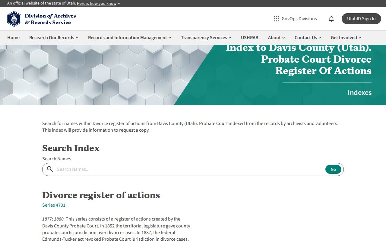
The Archives capture represents the historical index route. Save the series and page citation so a family connection can be checked again.
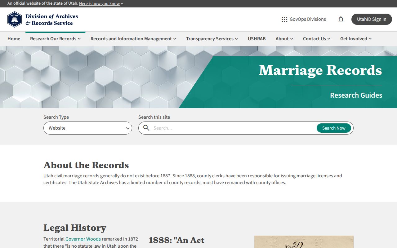
The marriage-guide capture explains the record context that can link a past household to a date and place.
Lawful House History in Bountiful
Previous residents research is for house history, family history, genealogy, reconnecting, and personal curiosity. A deed shows a recorded land transaction. A directory shows an edition-year entry. A cemetery shows a burial record. Keep those meanings clear, and do not turn a historical clue into a claim about a living person's current location.
When the trail ends, note the exact gap: no digitized volume, no open index, a protected record, or an unverified address change. A clear gap is a useful research result.